
Louniel Beach

Location
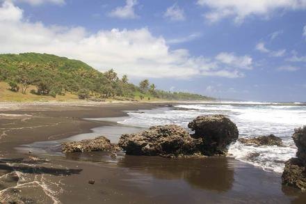
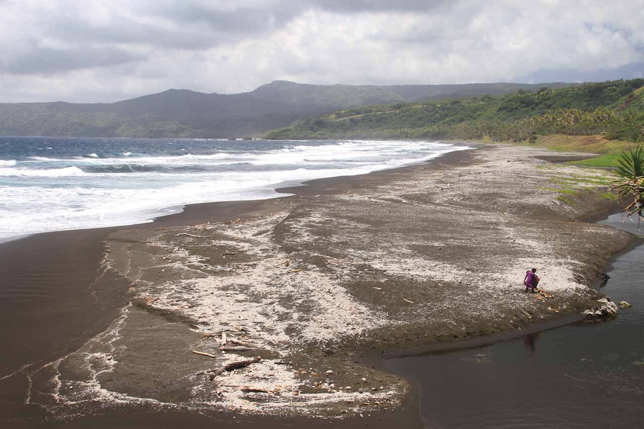
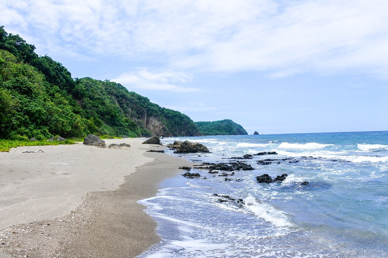
Louniel Beach is a surf beach ideally placed at the centre of the long stretch of beaches located on the northern sweep of the north-eastern side of the island.
The coastline is covered in large plantations of Coconut palms and numerous Pandanus trees. Louniel beach has rolling surf, like its New Zealand counterparts, but its tropical setting makes the water temperature much warmer. The beach itself is not flat but – falls away fairly quickly allowing swimming in close to the shore.
The black sand reminds one of powder snow and you can sink up to some depth in places. There are a number of underwater volcanic fumaroles just out to sea which results in various parts of the beach being covered in wavy patterns of pumice beads. A walk along the full length of Louniel beach takes about an hour and shows a different side of Tanna, most visitors don’t get to see and appreciate.
Getting to the beach is up over the transverse road from the whitegrass plains, to the cross roads in Middlebush. From there the road to Fetukai, leads onto the road down to the beach itself – the ride providing an exceptional view of the large Banyan trees and tall tree ferns amongst the dense tropical rainforest. Just before walking down onto the flatland adjacent to the beach, visitors can view the entire length of the beach from an escarpment immediately above it. The view is breathtaking, with My Yasur Volcano smoking in the background.